Наталя ХандусенкоAI Eng
10 July 2026, 13:52
2026-07-10
A Ukrainian created an interactive memory map of the Kakhovka Reservoir. The project has already conquered Reddit (almost 500,000 views) and even survived a ban due to Russian bots
Artem Nosenko, a UI/UX designer at Fintech Band, has turned his old photo archive into a tool for historical memory of the destroyed Kakhovka Reservoir. He created a bilingual interactive web project that clearly shows the scale of the ecological disaster on the Dnieper River and allows you to look into the past of places that no longer exist.
The project sparked a wave of interest among foreigners and went viral on Reddit despite massive complaints and opposition from Russian bots.
Artem Nosenko, a UI/UX designer at Fintech Band, has turned his old photo archive into a tool for historical memory of the destroyed Kakhovka Reservoir. He created a bilingual interactive web project that clearly shows the scale of the ecological disaster on the Dnieper River and allows you to look into the past of places that no longer exist.
The project sparked a wave of interest among foreigners and went viral on Reddit despite massive complaints and opposition from Russian bots.
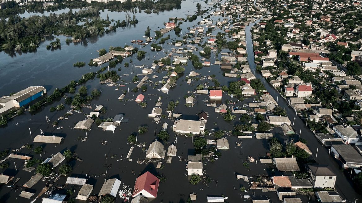
The idea for the project was born in the summer of 2023 and was triggered by tragic events in southern Ukraine. After the Russian occupiers blew up the Kakhovka hydroelectric power station, the huge reservoir disappeared almost in a matter of days. For Artem, who lived in Zaporizhia from 2009 to 2014, this loss also had a personal dimension, because at one time he spent hundreds of hours on the banks of the Dnieper with a camera in his hands.
I filmed a lot of these places: the Kakhovka Reservoir, the island of Khortytsia with its floodplains, the banks of the Dnieper, - recalls Artem Nosenko. - At that time, I could not even imagine that this sea would one day disappear. When it was gone, I realized that I had a rather rare archive of a place that no longer exists. I wanted to not just keep these shots in my library, but share them with others.
About the project
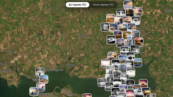
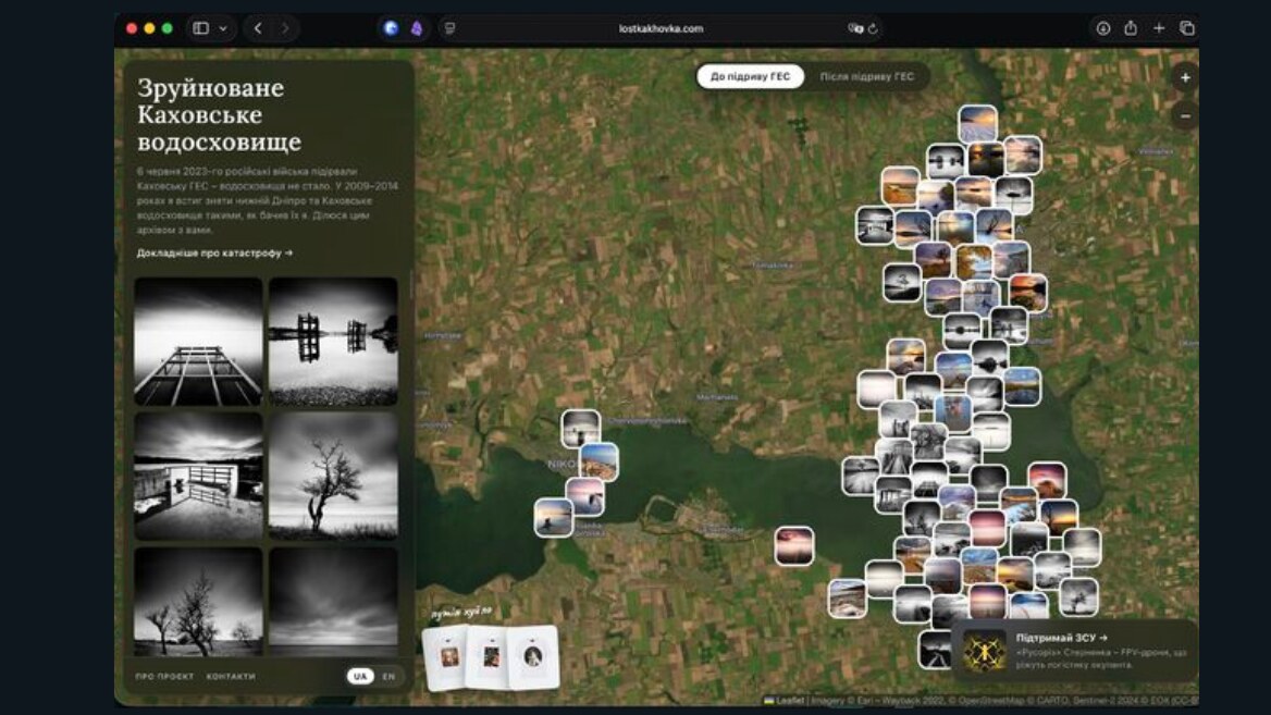
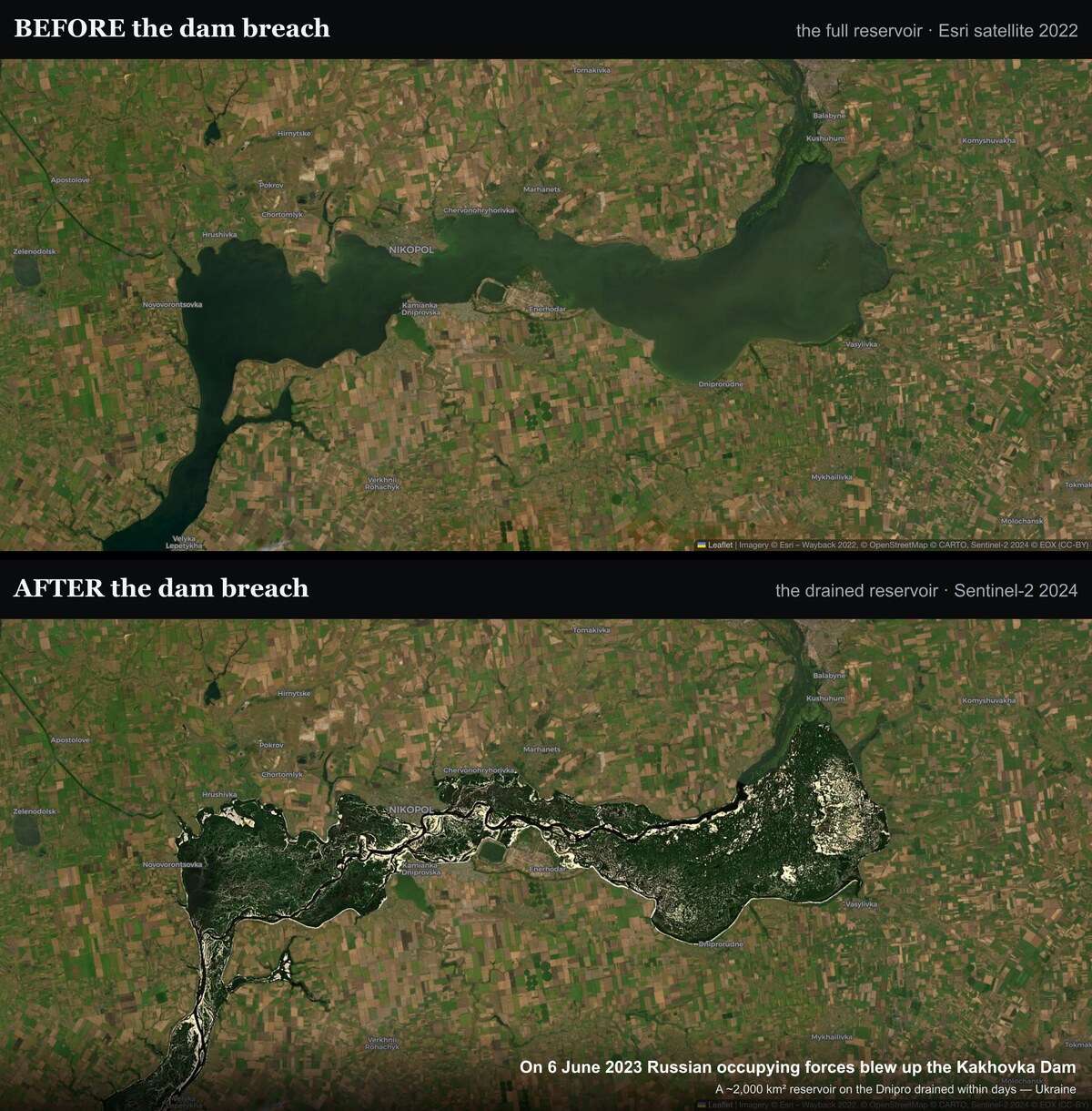
The interactive platform lostkakhovka was based on the designer's personal photo archive. To implement the idea technically, Artem used the OpenStreetMap cartographic substrate based on the Leaflet library, and also used satellite images from different years: a frame with the full-water sea from 2022 and a Sentinel-2 satellite image from 2024, where the already drained, contoured bottom is clearly visible.
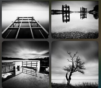
The main feature of the site is the unique switch "before / after the explosion of the hydroelectric power station". With one click, the user can see how the former water surface turns into land. Each photo on the map is tied to the exact coordinates of the shooting. When you click on a photo, it opens in full screen along with the technical parameters of shutter speed and aperture, automatically adjusted from the RAW originals. Most of the shots were taken by Artem on Canon 5D Mark II and 30D cameras using dense ND filters at long exposures (up to 100 seconds), which gave the water and sky a special "silky" effect.
Since Nosenko is a designer, not a programmer, artificial intelligence played a key role in the development of the site.
“I put together the entire site using Claude Code,” says Artem. “AI helped create the admin area, the site itself, process photos, extract shooting parameters from RAW, and stitch together the same satellite “before/afters.” In essence, AI allowed me to create a full-fledged interactive product on my own, which previously would have required much more resources.”
The map went viral on Reddit
The site was created in the summer, and by early July the project had already received strong international publicity. Artem published a “before/after” map on r/MapPorn, one of the largest thematic communities on the Reddit platform.
The result exceeded expectations: the post instantly went viral, collecting about 474,000 views, 2,600 likes and almost 500 comments. Traffic on the website grew rapidly, and the main wave of visitors was made up of foreigners - mainly users from the USA and Europe. As the author notes, the English-speaking audience showed a deep interest in the scale of the disaster and the artistic value of the footage.
The promotion of the project on Reddit did not go without obstacles: almost immediately after the publication of the map, Artem faced a massive attack. Due to a flurry of complaints provoked by Russian bots, the auto-moderation algorithms temporarily blocked the post. However, after a direct dialogue with the platform’s moderators, justice was restored — the publication was returned to the feed, which gave it an even more powerful impetus for distribution. A real information struggle against Russian fakes and “methods” unfolded in the comments, but neither the army of bots nor the waves of complaints could drown out the truth. In the end, hundreds of thousands of foreigners saw firsthand the scale of the disaster and crime that Russia committed with the Kakhovka reservoir.
What's next?
Today, the project functions as a non-commercial static site-memoir that does not require large resources to support. However, Artem is already thinking about the technical development of the platform. Among the immediate plans are to integrate photos from other years and implement a function that would show the exact direction of the lens during each shot.
At the same time, the designer emphasizes that the main mission of the project lies beyond the programming plane:
"The main goal is not technical: I want as many people as possible, both in Ukraine and abroad, to learn about the destroyed Kakhovka reservoir and what Russia did. That's why there is already an English version, and I'm gradually telling this story on various platforms."
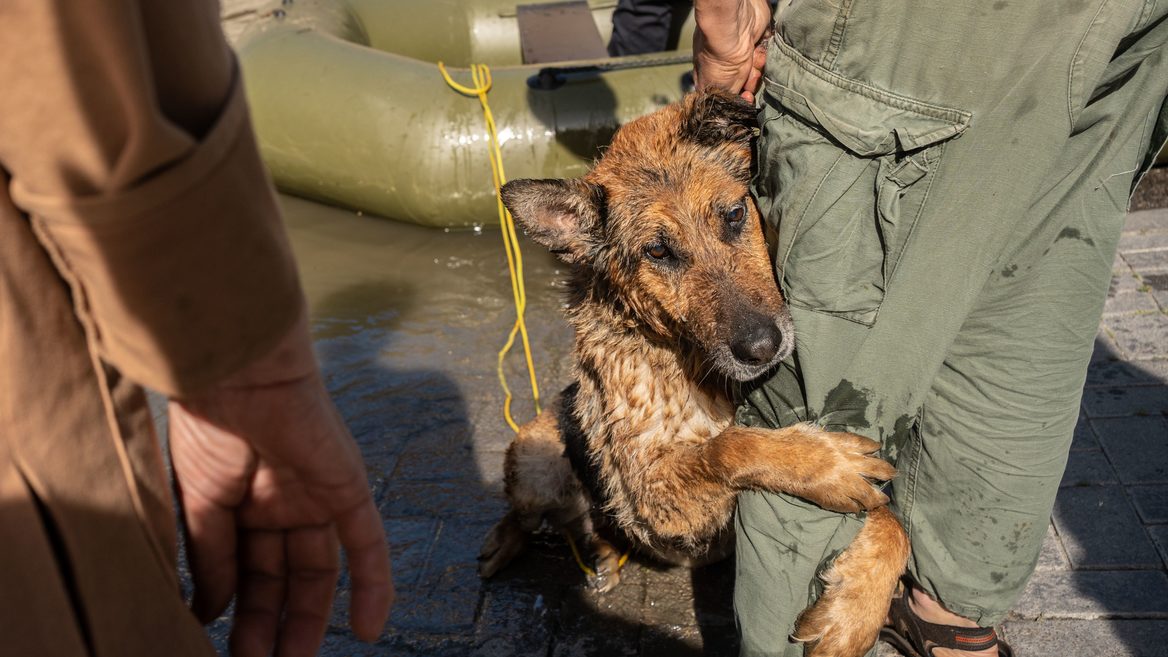
Kormotech released a charity book about saving animals after the Kakhovka HPP dam collapse — "Saving the four-legged (and people) of the Kherson region"
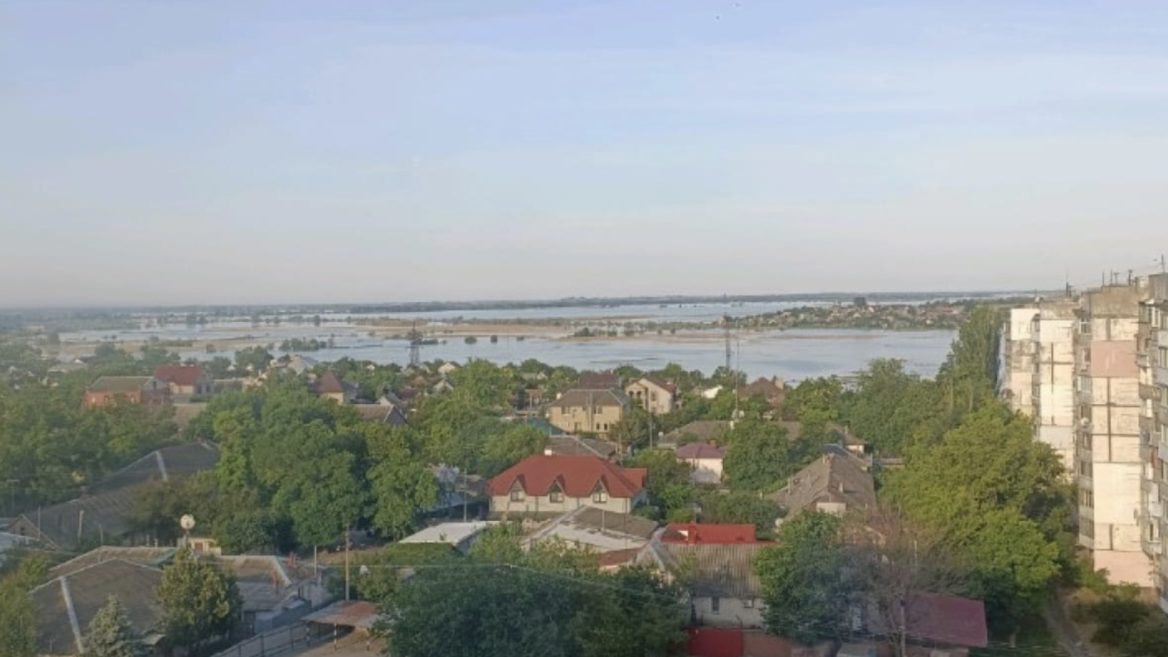
"We thought it was IPSO until we saw the Dnieper overflowing its banks." Stories of IT professionals who were in Kherson after the Kakhovka HPP explosion