An online map of potential targets for Russian attacks has appeared in Ukraine
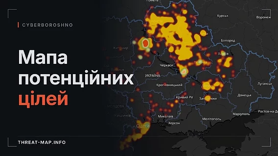
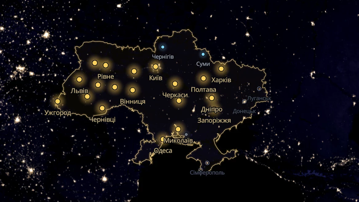
Analysts from the Ukrainian GEOINT team "CyberBoroshno" presented a non-commercial volunteer project — an interactive "Map of Potential Targets", which marks areas of Ukraine that have come into the field of view of Russian space intelligence for possible strikes.
Analysts from the Ukrainian GEOINT team "CyberBoroshno" presented a non-commercial volunteer project — an interactive "Map of Potential Targets", which marks areas of Ukraine that have come into the field of view of Russian space intelligence for possible strikes.
The project team announced the launch of the threat-map.info service on its social networks.
According to the developers, the goal of the platform is to provide citizens and businesses with objective information for risk assessment instead of relying on rumors on social media. Data for the map is collected from open sources (OSINT) and analyzed using proprietary algorithms that detect patterns in the work of hostile intelligence that captures energy, industrial, and logistics facilities.
"The enemy plans strikes in advance, and the areas he chooses are not a secret to himself — only to the people who live, work, and do business there. We show these areas openly so that everyone can soberly assess the risks to their location," CyberBoroshny notes.
The map covers the rear regions of Ukraine and large front-line cities. For security reasons, it does not display specific coordinates or objects, but rather conditional squares — approximate areas. The interface has two main layers: "Planned targets" and "Targets on MRU" (warnings of massive missile and combined strikes). Users can also view activity history and compare different zones.
The team emphasizes that the project has been coordinated with the Ukrainian Defense Forces. At the same time, the developers warn: the mark on the map indicates only the intelligence interest of the Russian Federation, and not a guaranteed attack, so during air alerts it is necessary to focus on official notification channels and go to shelter.
Due to the high influx of users after the release, the creators of the service are currently setting technical load limits on the site.
"KyberBoroshno" is a Ukrainian analytical community specializing in OSINT and GEOINT (geospatial intelligence). Since the beginning of the full-scale Russian invasion, the group’s members have been verifying strikes, identifying enemy military facilities, equipment, and positions in the occupied territories, publishing analytical reports and interactive maps of combat operations.
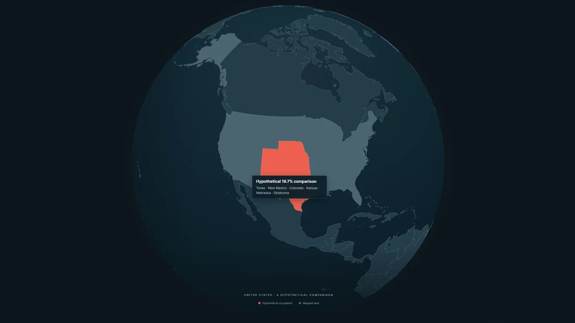
“What if Russia occupied 20% of your country?” A Georgian couple created an interactive map that shows foreigners the extent of the occupation of Ukraine