UNIT.City — місце, де люди працюють... КРАЩЕ! Обирай свій простір просто зараз 👉
Олександр КузьменкоThat's Life
12 June 2026, 10:51
2026-06-12
AI navigation based on 30 billion scans from Pokémon Go will help military drones fly without GPS
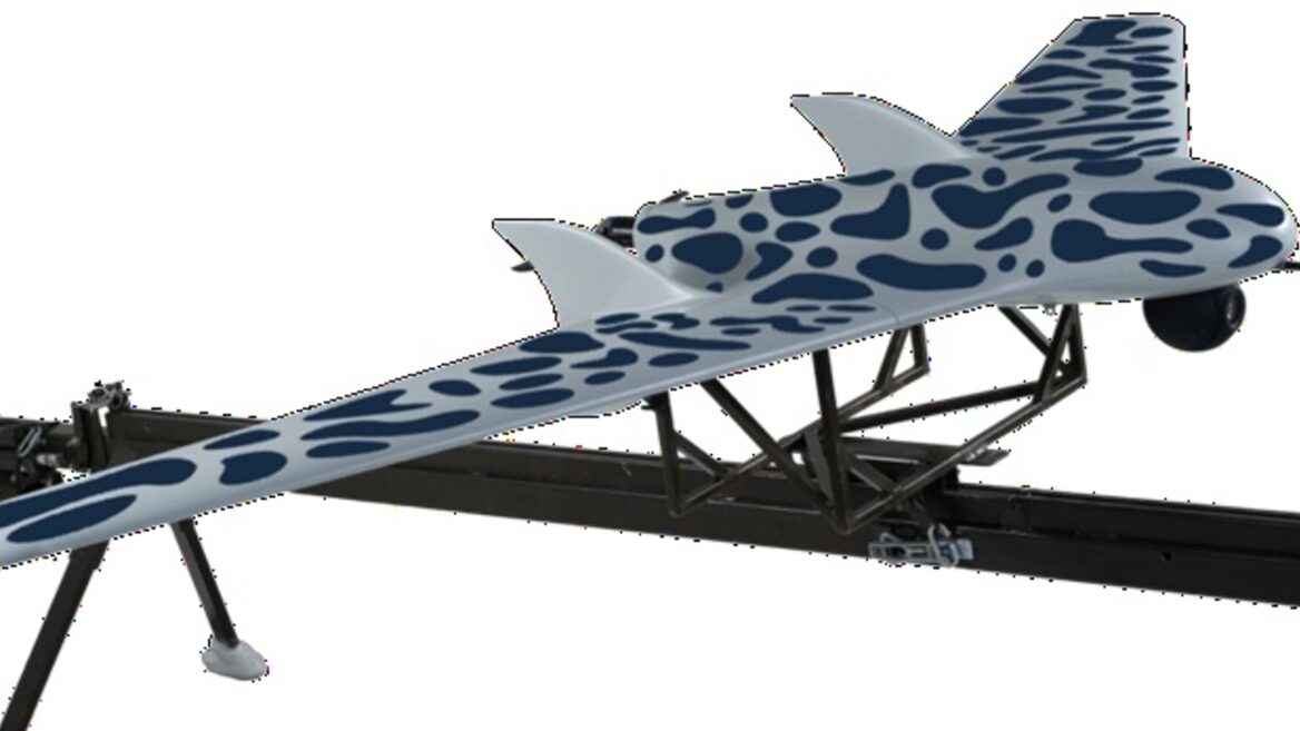
Players of the popular mobile game Pokémon Go have been scanning their environment for virtual bonuses for years, but now that data has found an unexpected military application. About 30 billion 3D scans of the real world, voluntarily uploaded by users, have become the basis for training artificial intelligence. The technology will help combat drones and ground robots accurately navigate in space in conditions of complete absence of GPS signal or active operation of enemy electronic warfare equipment.
Players of the popular mobile game Pokémon Go have been scanning their environment for virtual bonuses for years, but now that data has found an unexpected military application. About 30 billion 3D scans of the real world, voluntarily uploaded by users, have become the basis for training artificial intelligence. The technology will help combat drones and ground robots accurately navigate in space in conditions of complete absence of GPS signal or active operation of enemy electronic warfare equipment.
According to Kotaku, citing an investigation by Dutch media outlet DroneXL, the American defense contractor is integrating the technology into its navigation systems. The news has caused serious concern among the gaming community, who did not expect that their fascination with the mobile app would support the development of dual-use technologies.
The developer of the original game, Niantic, sold its gaming division, along with Pokémon Go, to Saudi company Scopely for $3.5 billion in 2025. However, the giant database of accumulated spatial data remained in the ownership of the American company Niantic Spatial, which was separated after the deal. In late 2025, the company announced a partnership with the American developer of solutions for the defense industry Vantor (formerly known as Maxar Intelligence). The goal of the collaboration is to create a visual positioning system (VPS) that can completely replace satellite navigation.
The new technology allows drones to compare images from onboard cameras with existing 3D terrain models. The drone navigates in space by recognizing ground objects in real time, making it invulnerable to jamming or spoofing of satellite coordinates.
Military contractor Vantor denies that player data is directly uploaded to drones, while Niantic Spatial claims that the scan array was used solely to train an «early version» of their own AI model.
«Currently, as part of Scopely, Pokémon GO data is not being shared with Niantic Spatial,» a company spokesperson told Kotaku. He added that the AR scanning was voluntary and in accordance with the then-current terms of service. The decision to stop sharing new data from the game with Niantic Spatial was part of Scopely’s plan to transition the franchise to Scopely.
Niantic Spatial also clarified the principles of how their algorithms work, emphasizing that the neural networks were trained on images of objects, and not copied users' confidential photos.
«Terrain scanning was one of the components that helped train Niantic Spatial’s underlying real-world models — artificial intelligence systems that learn to recognize and interpret physical spaces,» the company says. According to the developers, the AI was trained on publicly accessible landmarks (monuments, fountains, etc.), and it is these trained mathematical models that are now used by various sectors for spatial navigation.
AI-based visual positioning (VPS) technologies are becoming a key factor in the development of drones. In the conditions of modern conflicts, where the saturation of electronic warfare means eliminates traditional satellite navigation, the ability of equipment to navigate using computer vision is critical.
The developers added the AR-scanning feature Pokéstops to Pokémon Go back in 2021, offering users bonuses for shooting objects from different angles. Ultimately, these entertaining videos laid the foundation for jamming-resistant US military technology.