Олександр КузьменкоWar
3 September 2026, 13:47
2026-09-03
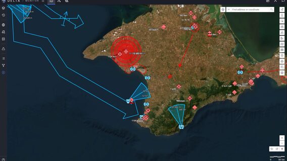
The Ukrainian DELTA combat system combines 3D models, satellite images, and orthophotos
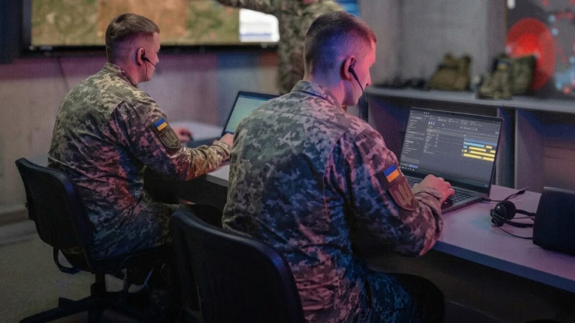
The Ukrainian DELTA combat system combines satellite imagery, orthophotos, and 3D terrain data into a single digital environment. This allows the military to obtain a detailed picture of the battlefield and plan operations more accurately.
The Ukrainian DELTA combat system combines satellite imagery, orthophotos, and 3D terrain data into a single digital environment. This allows the military to obtain a detailed picture of the battlefield and plan operations more accurately.
In July 2026 alone, the Ukrainian military added more than 1,700 such accurate digital images to DELTA, the Ministry of Defense of Ukraine reported.
Currently, the platform contains data from several satellite providers with regular updates. The images cover the entire territory of Ukraine, including the temporarily occupied territories and Crimea, as well as the territory of the Russian Federation. This geodata helps to track changes in the terrain, detect new enemy targets and plan long-range strikes. In addition, DELTA notifies users about the appearance of new images in the selected area of interest.
For high-level detail of specific areas, orthophotos are used, which are created using reconnaissance drones. Unlike a regular aerial photograph, which may contain geometric distortions due to terrain, camera tilt, or shooting conditions, an orthophoto undergoes photogrammetric processing and geometric correction.
The image is brought to a given cartographic projection and linked to a coordinate system, and individual images are combined into a single georeferenced picture. This allows for precise measurements, comparison of geodata, and detailed analysis of the area.
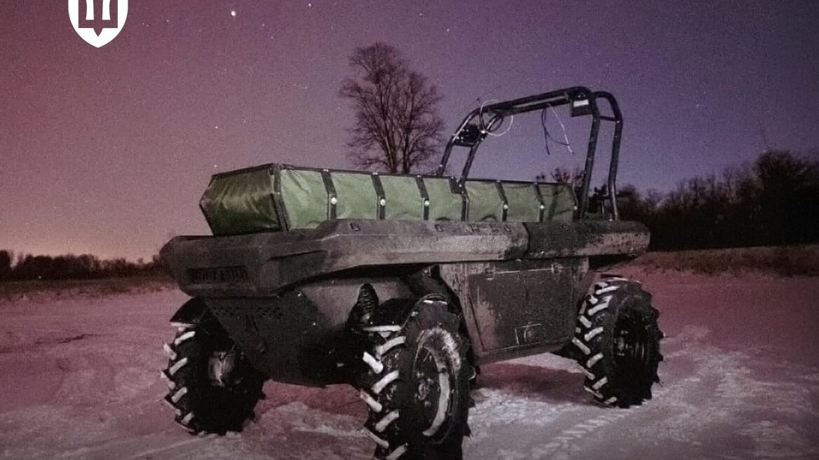
A separate level of geospatial data has become 3D terrain models that take into account the relief and height of objects. They are already used to lay routes for ground robotic complexes, for which height differences are critical. The Ministry of Defense notes that the next step will be to further scale this area and increase the volume of geodata in DELTA.
Recall that in August, the DELTA combat system launched an AI assistant for all users. It provides answers to frequently asked questions directly in the platform interface.