UNIT.City — місце, де люди працюють... КРАЩЕ! Обирай свій простір просто зараз 👉
Валентин ШнайдерAI Eng
4 August 2025, 15:06
2025-08-04
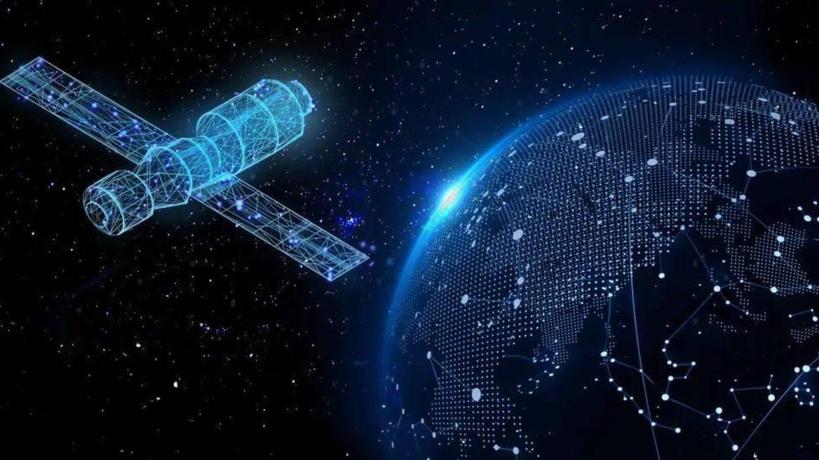
Google created a digital twin of the Earth using AI that could replace satellites
Google’s new AlphaEarth AI model can continuously monitor the planet’s surface without the limitations of cloud cover or orbital lag, integrating gigabytes of geodata into a precise digital map of the Earth.
Google’s new AlphaEarth AI model can continuously monitor the planet’s surface without the limitations of cloud cover or orbital lag, integrating gigabytes of geodata into a precise digital map of the Earth.
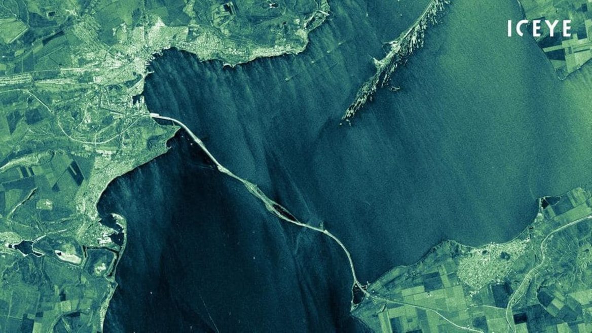
Google has unveiled AlphaEarth Foundations, a large-scale AI model that creates a digital «twin» of the Earth with a resolution of 10×10 meters. Its task will be to provide stable observation of the planet without having to wait for satellite images, Android Police reports .
Unlike satellites, which depend on orbit and weather, AlphaEarth constantly updates its virtual model of the planet. It is based on petabytes of data from radar and optical satellites, 3D lidars and climate models, compiled into unified vectors, the so-called embeddings. This allows you to quickly analyze changes in land use, vegetation status, coastal dynamics and even monitor hard-to-reach regions.
Google cites examples: in cloudy Ecuador, AlphaEarth was able to show farm fields in detail without waiting for a «clear sky», in Antarctica, a virtual model read the terrain in the dark, and in Canada it recorded changes that are not visible in regular satellite images.
The model is also technically efficient: it takes up 16 times less space than other systems and has a 24% lower error rate with a minimal number of labels. For researchers and government agencies, this means faster and more accurate decisions.
Importantly, Google has opened up access to the data: over 1.4 trillion «footprints» per year are now available through Google Earth Engine. More than 50 organizations, including the UN, Stanford University, and MapBiomas from Brazil, are already actively using the system.
A little more about AlphaEarth
It’s part of Google’s larger strategy to combine AI and geospatial analytics. In the future, the company plans to integrate it with language models like Gemini for even deeper analysis. If AlphaEarth lives up to expectations, it could fundamentally change the way we monitor the planet, moving from satellite-based to constant virtual observation from the ground.
We previously wrote about how NASA is launching Earth Copilot, an AI chatbot that will answer questions about our planet. Earth Copilot was designed to make it easier for people who aren’t scientists or researchers to access and understand complex scientific data.
«Prytula bought a satellite with human money to broadcast the national marathon.» The volunteer spoke about the «evolution of morons» and all the conspiracy theories he is accused of regarding the satellite he bought as a donation
Ukrainian company Stetman is working on creating a sovereign group of UASAT LEO satellites as an alternative to Starlink. The project is estimated at $634 million
Як нейромережі бачать вільну та незалежну Україну? Тест dev.ua
Нейронні мережі для генерації зображень бачать світ по-своєму, їхню логіку зрозуміти часом зовсім неможливо. Але таки хочеться. На честь Дня Незалежності України редакція dev.ua вирішила провести невеликий експеримент.
Ми задали чотирьом різним нейронним мережам п’ять однакових запитів: «прапор України», «День Незалежності України», «український Крим», «перемога України» та «українці». Отриманими результатами ми ділимося з вами нижче.